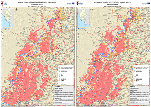
Flooding has continued along the Ngawun River in Ayeyarwady Region into September. MIMU has produced two new maps of Lemyethna, Yegyi and Thabaung townships showing satellite-detected surface water, both A1-sized:
- as of 11 September 2026 (6:00 AM)
- as of 13 September 2026 (6:15 PM)
Both maps carry the flood extent from 20 August alongside the September extent, allowing a direct comparison of how the inundated area has changed over the past three weeks. Both also show the embankment and the embankment breach site, together with village-level detail, main roads, railways, urban areas and health centres.
Both maps are available in English and Myanmar, sized for printing and field use.
Download from the Monsoon Flooding 2026 page on the MIMU website.