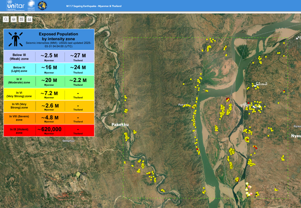
The results of satellite-based remote sensing analyses from UNOSAT, including ground photos for validation, have been compiled into an interactive web map. Initially released last month, this map has recently been updated to include UNESCO-listed sites.

