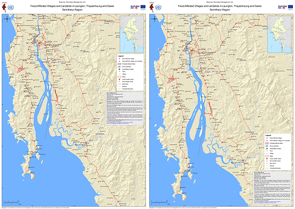
Heavy rain from 26 September caused severe flooding and landslides in Launglon, Thayetchaung and Dawei townships, with casualties and missing people reported. MIMU has mapped flood-affected villages, villages also hit by landslides, and probable affected wards in Dawei and Thayetchaung towns, with roads, the railway and health facilities. A first map was released on 28 September. An updated version on 30 September adds newly reported villages.
The maps are compiled from social media reports and have not been validated in the field. Ground feedback is welcome at [email protected].
Download the latest map (A1).
All flood-related resources.