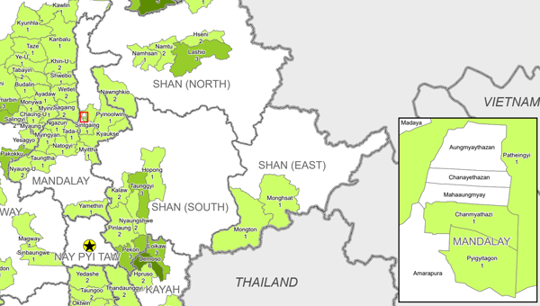
Township-level sectoral maps based on data from the latest February 2025 round of the HDP Nexus 5W are now available on MIMU website. These maps provide a very recent snapshot of humanitarian, development, and peace activities on the ground before the earthquake, providing a pre-disaster baseline. Due to their sector-specific focus, these maps are especially helpful for response and recovery operations. For example, the WASH sector map can support planning and coordination for water and sanitation needs in affected areas.